
A shallow lake and a mountain that flowers
Farmed hills, two important rivers and the Apennines along the eastern edge.
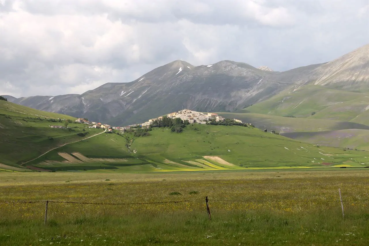
Umbria is two thirds hill and the rest mountain, and the only real plain is the Valle Umbra and the floors of the Tiber and Nera valleys. The landscape everyone recognises, the geometric fields with their tree rows and the stone houses on the knolls, is hill country farmed for centuries: the region has one of the most continuous stretches of farmland in Italy and very little suburb.
The rivers
The Tiber comes in from Tuscany, crosses the whole region from north to south and collects its water: the Chiascio, the Topino, the Nera. The Nera comes down from the Sibillini and carves the Valnerina, a narrow gorge some fifty kilometres long with villages clinging to it and abbeys at the bottom. Above Terni it takes in the Velino, and that drop is the Marmore falls.
Trasimeno
It is the fourth largest Italian lake and the biggest in central Italy, but it averages six metres deep: a basin floor with no natural outlet, which drops in dry summers. It has three islands, Maggiore, Polvese and Minore, and the shores are low and planted with olives. The water warms up early and stays warm into September.
The mountains
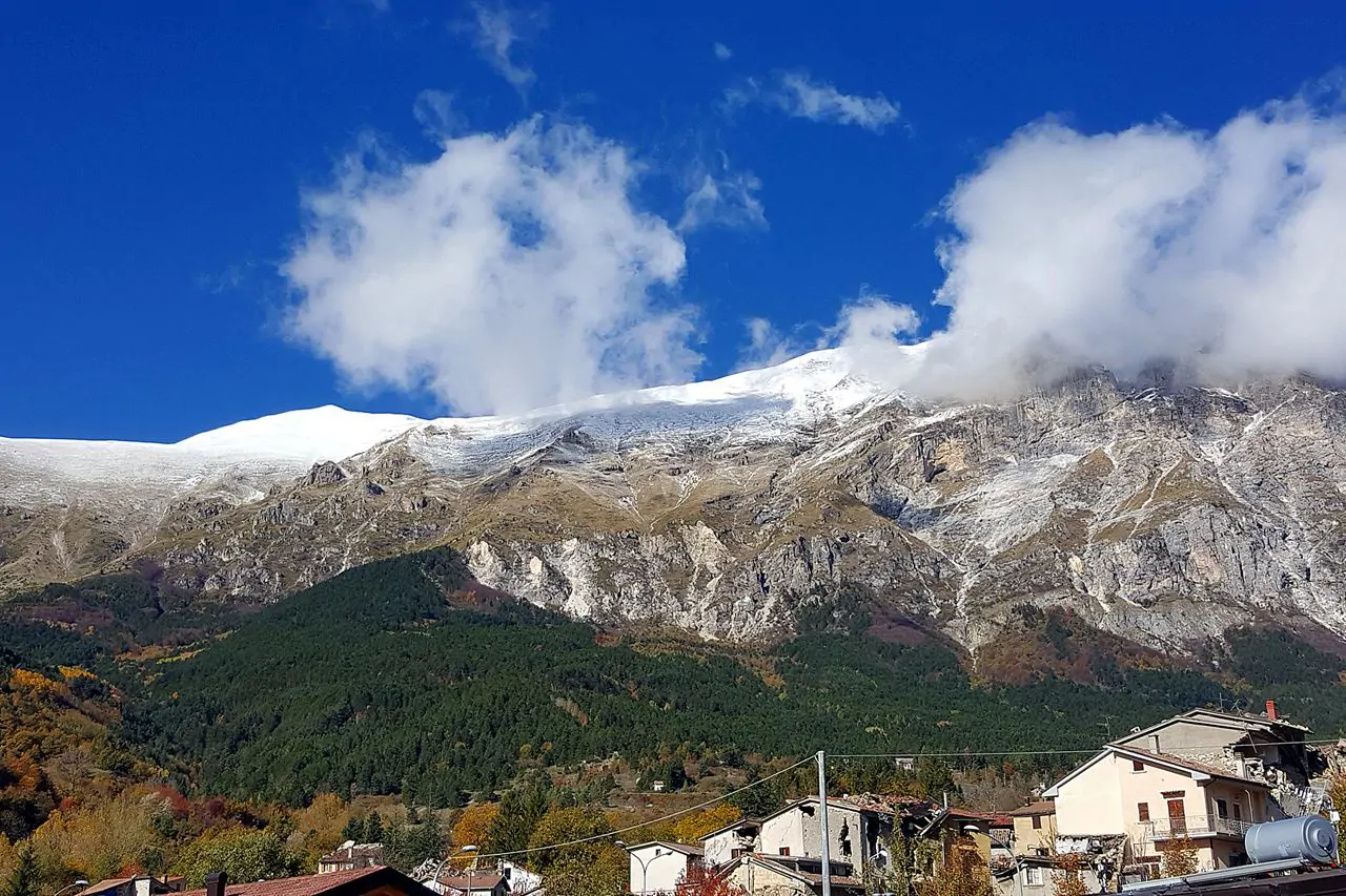
The eastern edge is true Apennine: the Sibillini national park, shared with the Marche, with the Cima del Redentore at 2,448 metres, and further north Monte Cucco and the Subasio park above Assisi. On the Piano Grande of Castelluccio, at thirteen hundred metres, between late May and early July the lentils and the poppies colour the floor of the basin every year.
The parks
Besides the Sibillini there are the Nera river park, the Tiber park, Monte Subasio, Monte Cucco and Lake Trasimeno, which is itself a regional park. The region has protected a tenth of its territory, and nearly all of these areas can be walked or cycled on paths laid over old railway lines.