
The green heart, and for once it is not a slogan
Eight hundred and fifty thousand people, two provinces, ninety-two municipalities and no large capital.
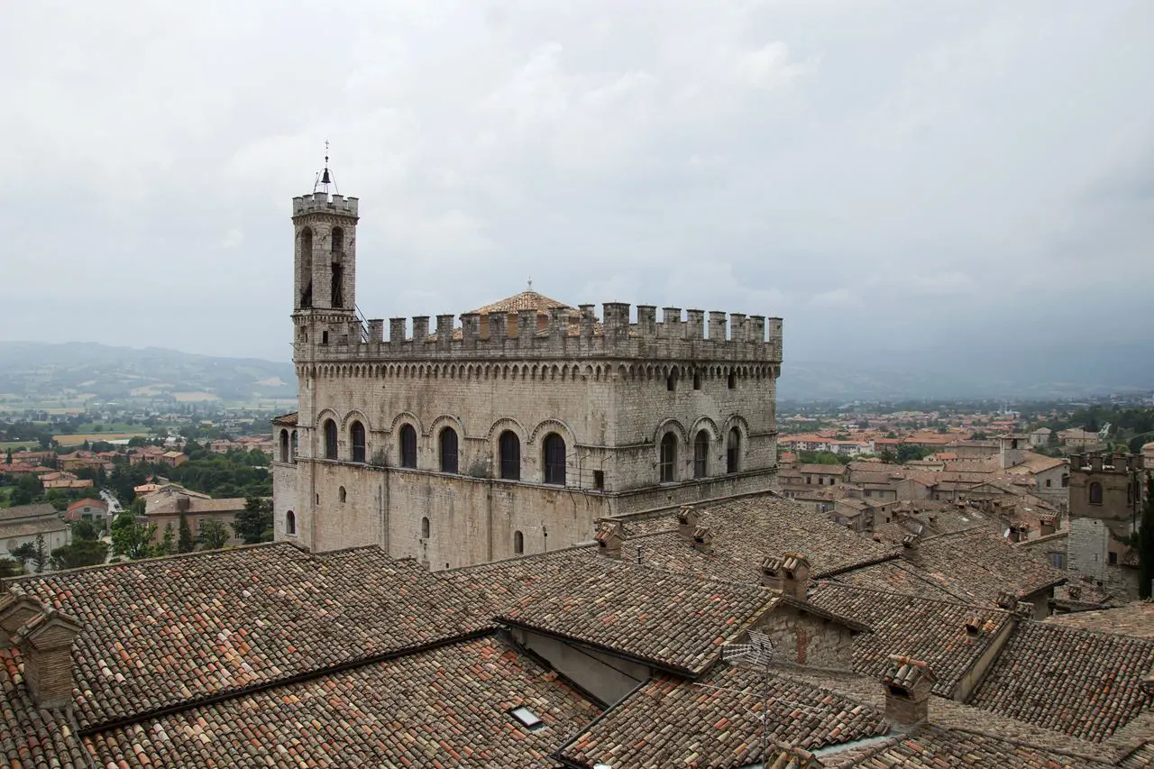
Umbria is one of the smallest regions in Italy, with only Valle d'Aosta, Molise, Liguria and Friuli Venezia Giulia covering less ground, and it is the only one on the peninsula with neither a coast nor a border with another country. There is no large city: Perugia reaches a hundred and sixty thousand inhabitants, Terni a hundred thousand, and all the rest are hill towns visible from far off because they stand on top of something.
How it is put together
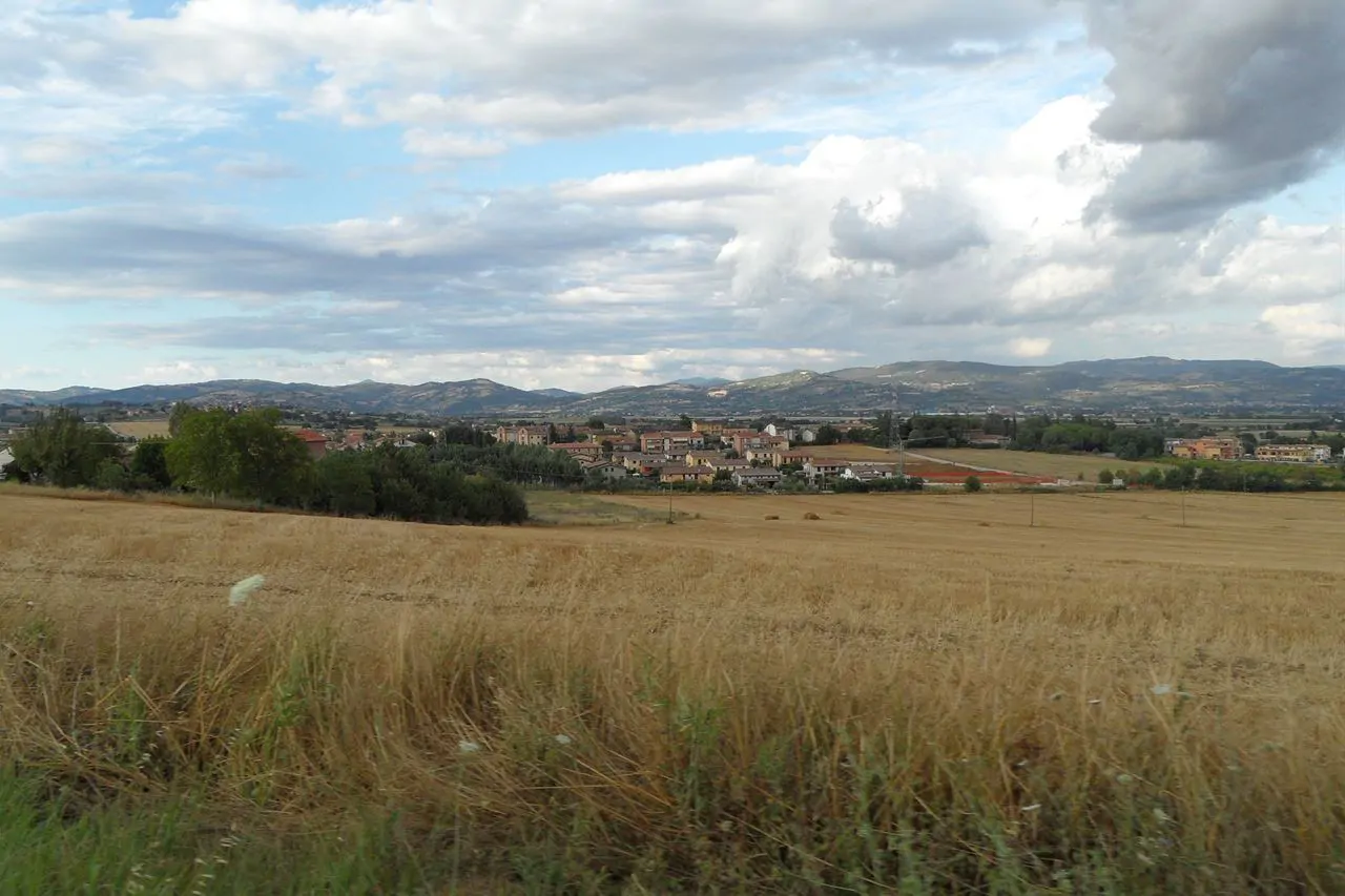
The layout is that of a basin: at the centre the Valle Umbra, a long plain between Perugia and Spoleto holding Assisi, Spello, Foligno, Bevagna and Montefalco; to the west the hills towards Trasimeno and the Tuscan border; to the east the Apennines, with the Sibillini and Monte Cucco; to the south the valleys of the Tiber and the Nera, which meet near Terni.
Where the campsites are
Trasimeno holds nearly all of them: a wide, shallow lake with low shores, three islands and the villages facing it, and the campsites sit on it with the beach in front. The others are in the Terni area, near the Marmore falls and Lake Piediluco, and in the Valnerina. In central Umbria, the Umbria of the hill towns, there are almost none.
Hail, green Umbria, and you, god Clitumnus of the clear spring!
Giosue Carducci, At the springs of the Clitumnus, 1876: this is where calling it green comes from
How to plan it
The region can be crossed end to end in an hour and a half, which means one base is enough. From Trasimeno it is half an hour to Perugia, three quarters of an hour to Assisi, an hour to Orvieto and Gubbio, an hour and a half to Spoleto and the Marmore falls.
Summer in the hills is hot but dry, and in August the lake fills up without becoming unliveable. May, June and September are the right months: the hill towns are walkable, the flowering of Castelluccio falls between late May and early July, and prices are lower.